Contact us for consultation on the introduction and development of industrial drones
 Contact
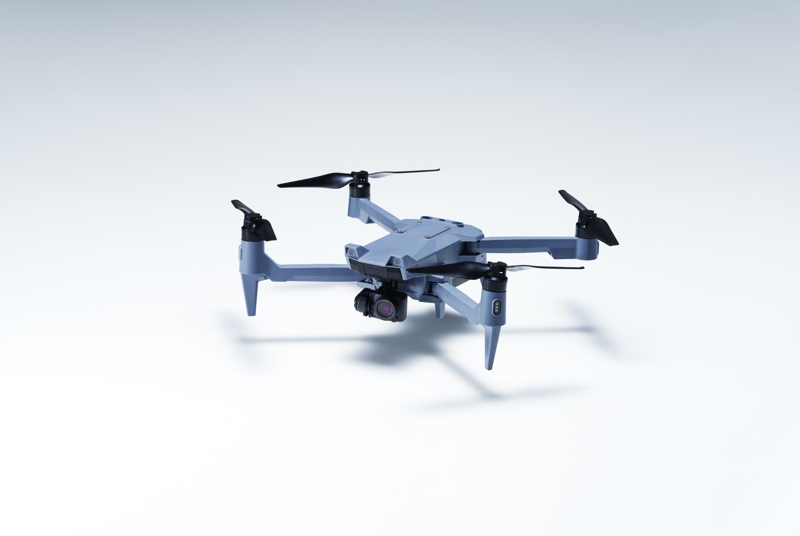
SOTEN: Small Aerial Photography Drone
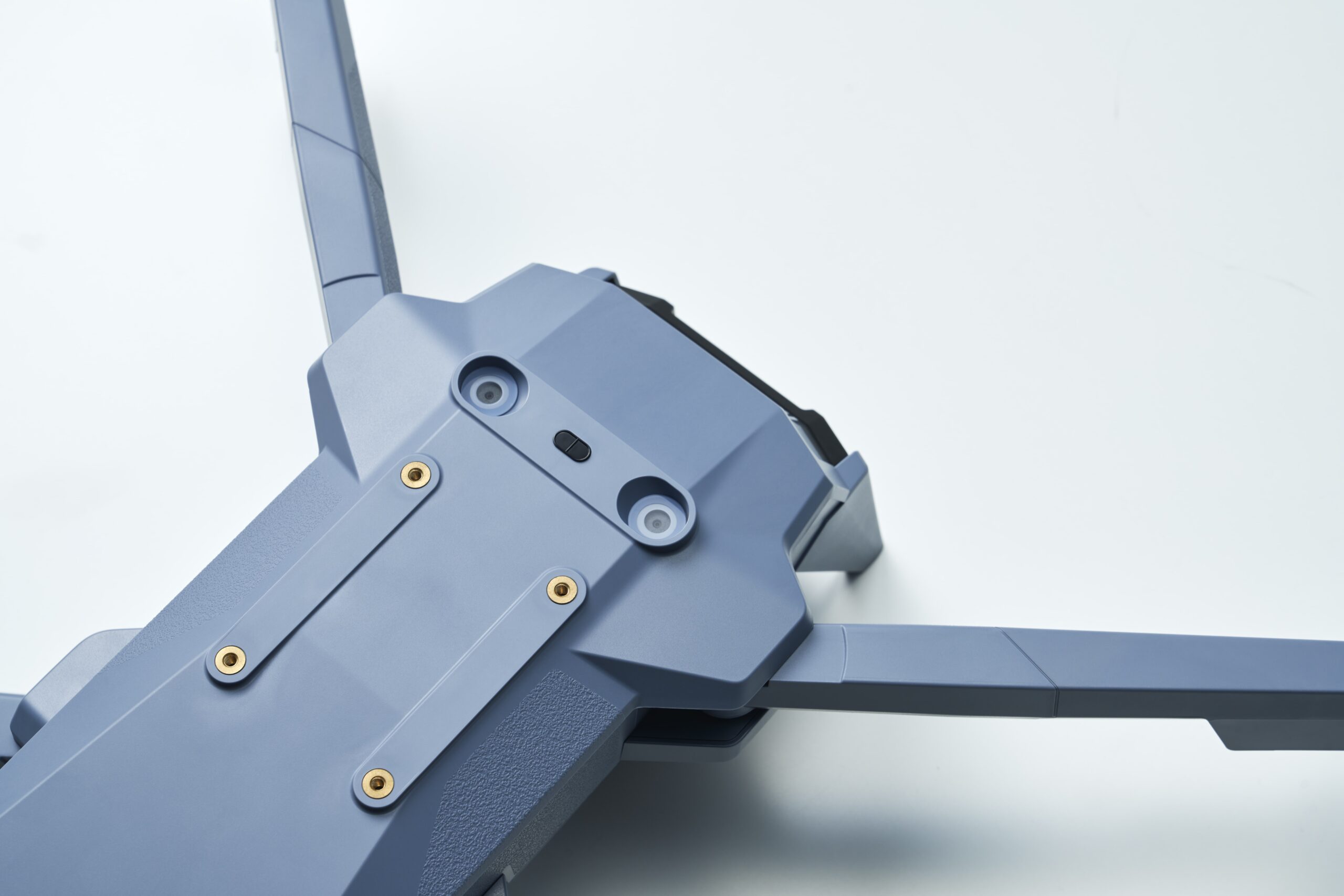
A small made-in-Japan drone with advanced measures to secure communications, flight data, and photo/video data. *Also equipped with remote ID
- For disaster response, inspection, and survey where the security of captured data, flight data, and communications must be assured.
- For missions that require a drone that is waterproof, dustproof and with good wind resistance.
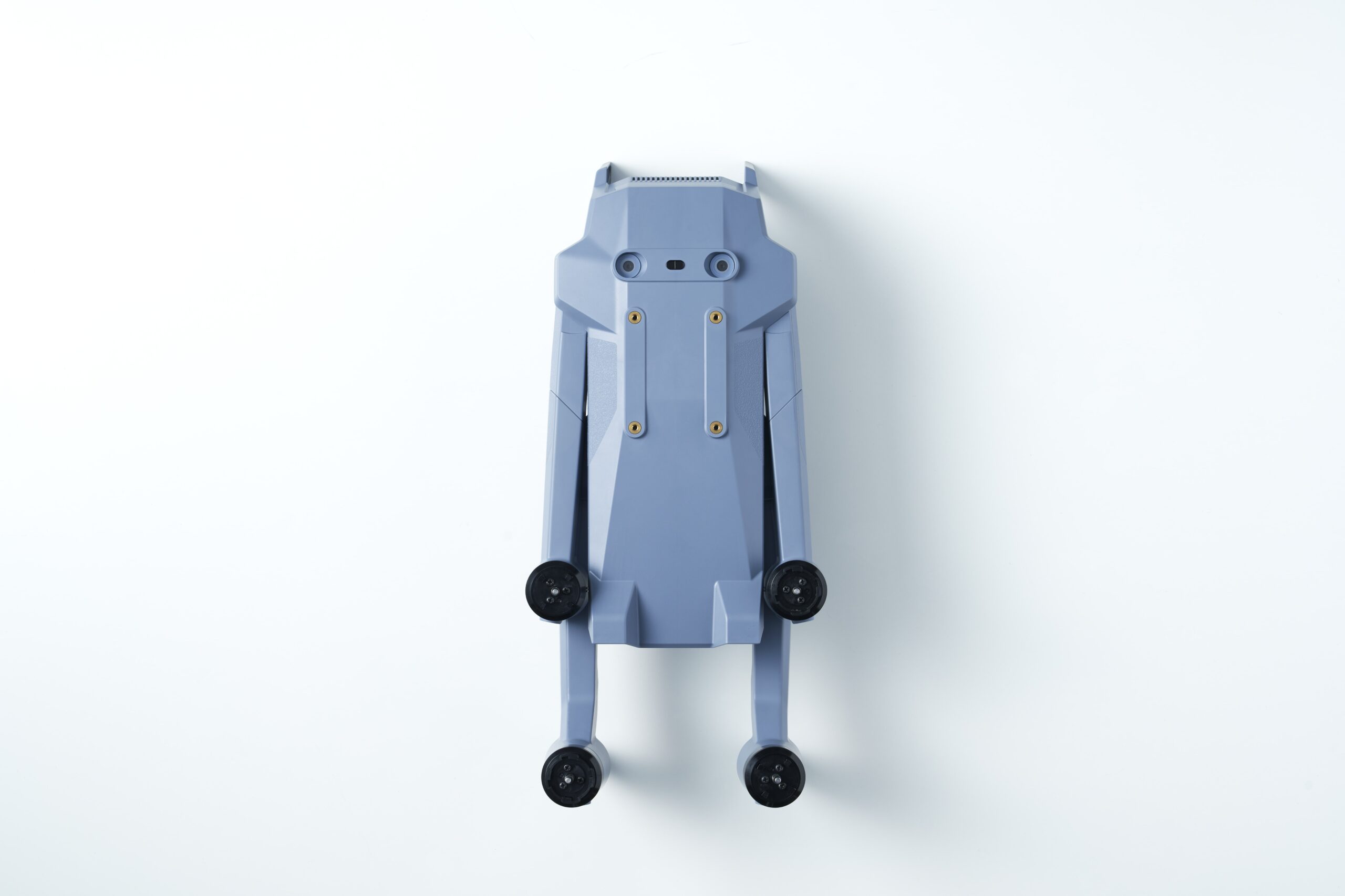
- For compact portability for ease of use over a wide area.
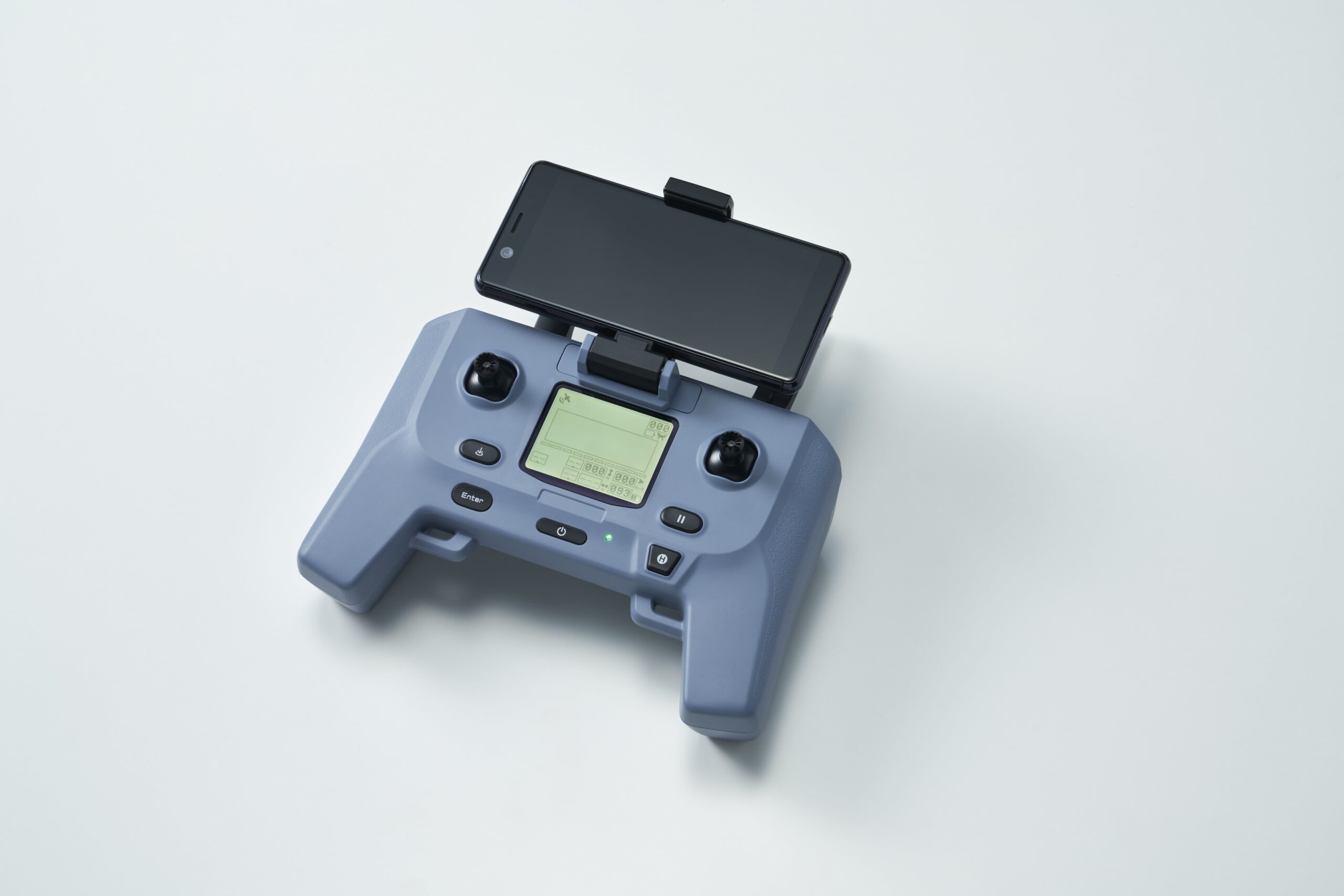
- For easy, intuitive operation that anyone can use.
SOTEN, a small aerial photography drone made by ACSL, can address these needs.
Protected by made-in-Japan secure drone technology
Security measures based on ISO15408* are applied to prevent data leakage and extraction and to provide resistance to hijacking.
Major parts of the aircraft are either domestically produced or procured from highly reliable overseas sources. Security is enhanced with encrypted communications. Acquired data can optionally be encrypted and managed in the Japanese cloud.
*International Standard for Computer Security

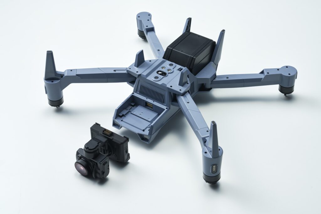
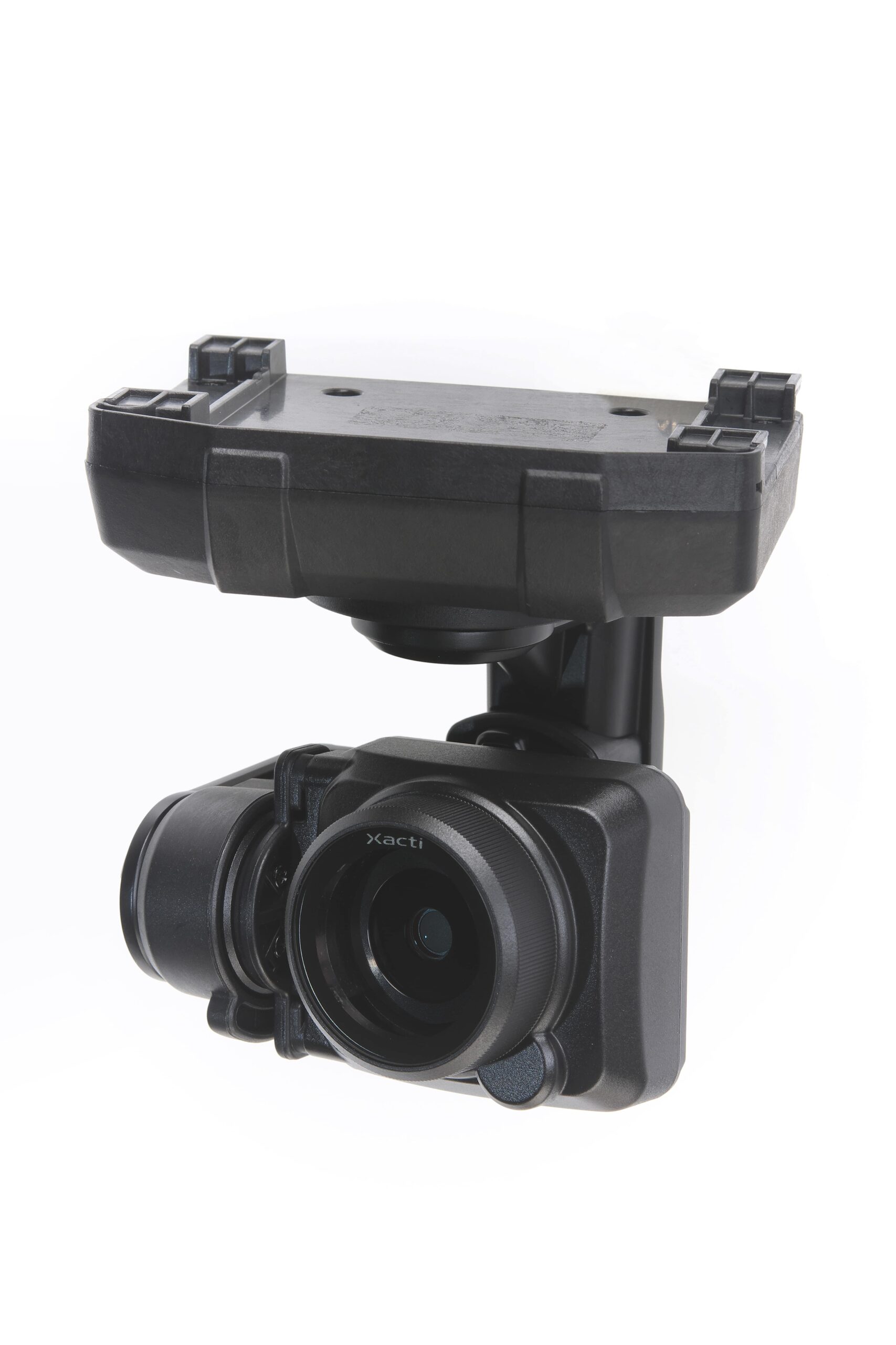
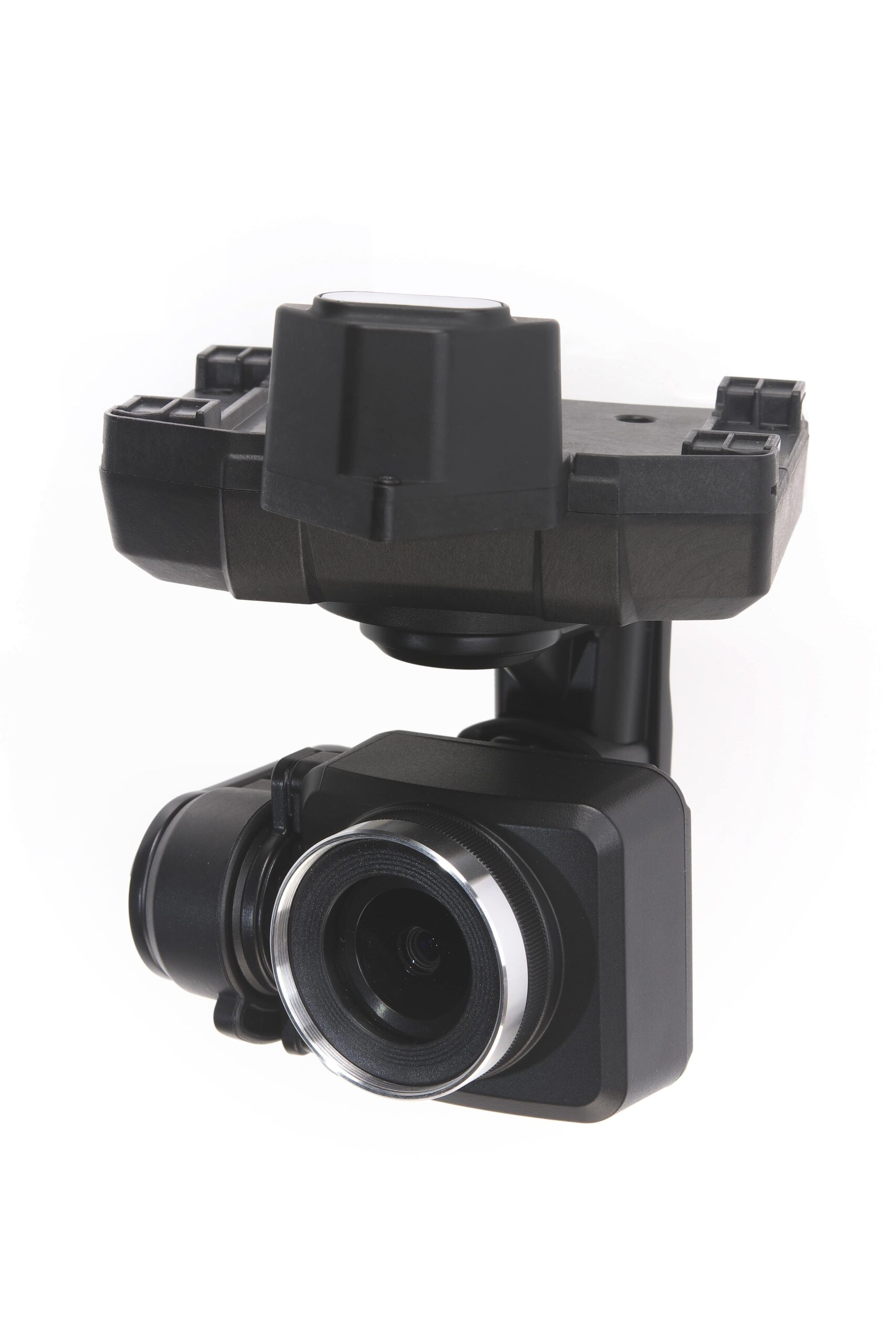
One-touch-swappable camera
ACSL SOTEN employs a swappable camera system, a first for a small aerial photography drone, enabling a wide array of camera options.
The standard camera can be swapped with an EO/IR combination camera, a multispectral camera, and an optical zoom camera.
Extensive scalability, including closed network LTE communication and offline maps
With the use of LTE communications, SOTEN can be controlled over the internet, enabling autonomous beyond-visual-line-of-sight (level-3) operations in remote areas such as mountainous terrain and inside industrial plants.
The use of offline maps allows the ground control software application to display maps and manage autonomous flight, even in environments where internet access is not available.
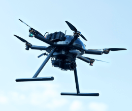
An adapter for mounting the camera on the top of the drone, enabling the inspection of infrastructure from below, is currently under development.
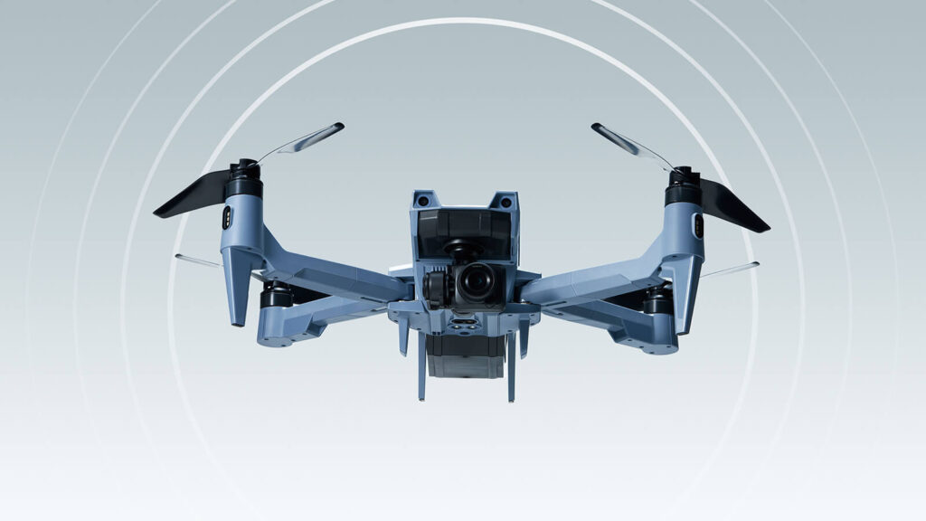
A drone with flight performance that is more than sufficient for real-world operations
With a maximum airspeed of 15 m/s, SOTEN is capable of safe flight in severe conditions, such as natural disasters.
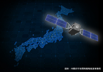
SOTEN is also equipped with SLAS/SBAS (sub-meter positioning augmentation from the Michibiki quasi-zenith satellite system), which can provide more accurate positioning information in Japan, enabling safer takeoff and landing in situations where accurate positioning information is required, such as disaster response.
Specifications
| Item | Detail |
|---|---|
| Dimensions | Unfolded: 637mm x 560mm (including propellers) Folded: 162mm x 363mm |
| Weight | 1,720g (including standard camera and battery) |
| Maximum takeoff weight | 2,000g |
| Maximum flight time | With standard camera, airspeed 8 m/s: 25 min. Without camera, airspeed 8 m/s: 29 min. |
| Maximum distance (without obstructions or radio interference) | 4km |
| Ingress protection | IP43 (with camera, gimbal and battery) |
| Visible camera | 4K video, 20 megapixel still images |
| Optional Camera | Infrared camera + visible camera Multispectral camera Optical zoom camera |
| Remote ID | Bluetooth |
| GNSS、GEOSS | GPS + QZSS (Quasi-Zenith Satellite MICHIBIKI) + SLAS/SBAS |
| Cloud | Image and video storage Flight log storage |
| Security measures | Prevention of leakage of flight log and photo/video data Encrypted communications Pairing of drone and controller |
| Functions | Autonomous flight Image-based tracking Collision avoidance in 3 directions |
| Functional Control Protocol | MAVLink |
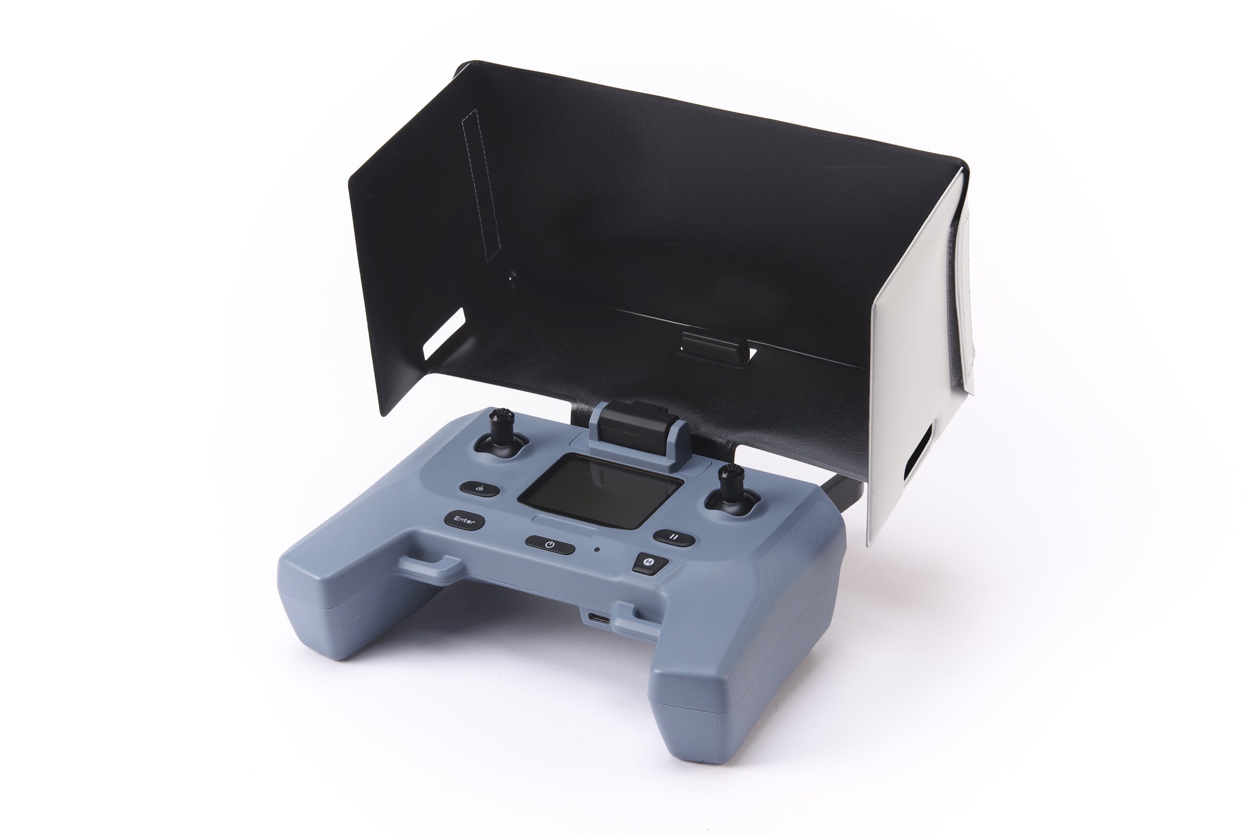
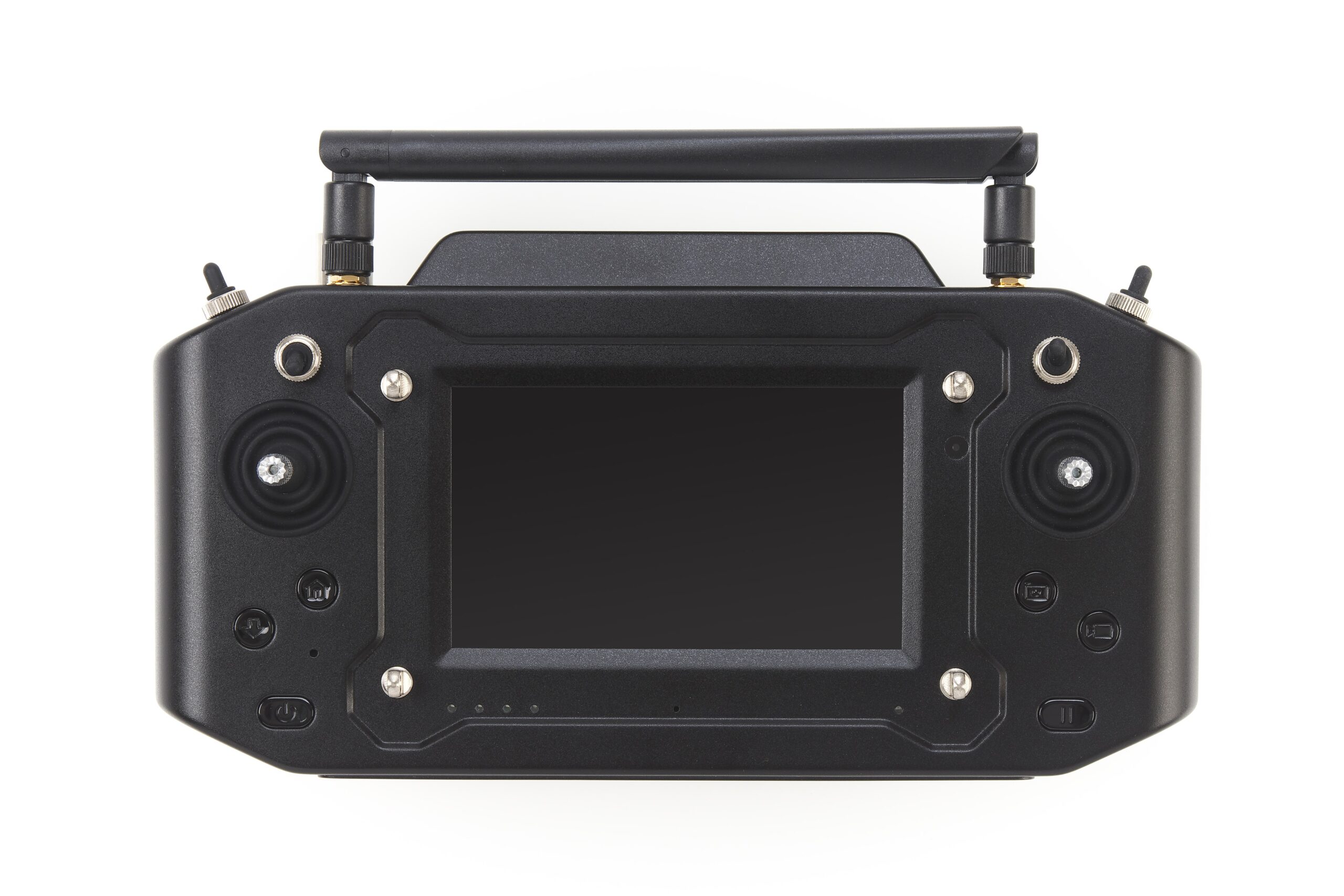
| Accessories | Standard transmitter Battery (94Wh) Standard charger |
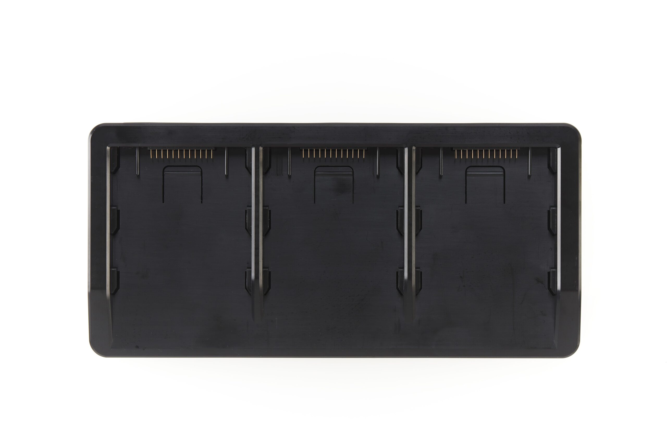
| Optional items | Smart controller Controller hood Spare propellers Training controller Propeller guards LTE communications module Storage case (hard) Spare battery (94Wh) Storage case (soft) Multimount Triple battery charger Upper camera mount |
Supported Apps
TAKEOFF
*Click to start downloading the zip file. Downloading may incur communication charges.
◆Android
Mar 6, 2025: Click here for the latest file for Android
◆Windows
Mar 6, 2025: Click here for the latest file for Windows
of made-in-Japan drones
 Contact


_1-min-scaled.jpg)
_3-min-scaled.jpg)
-min-scaled.jpg)
